Map Redlining

New Standard App for Map Redlining
Irth has published a new standard app to UtiliSphere. UtiliSphere’s standard apps provide out-of-the-box functionality to complex processes to make it faster and easier to implement the latest technologies and industry standards.
UtiliSphere’s new standard app for Map Redlining provides field techs with the ability to accurately capture asset or dig site locations.
The new standard app in UtiliSphere works as follows:
- App is turned on
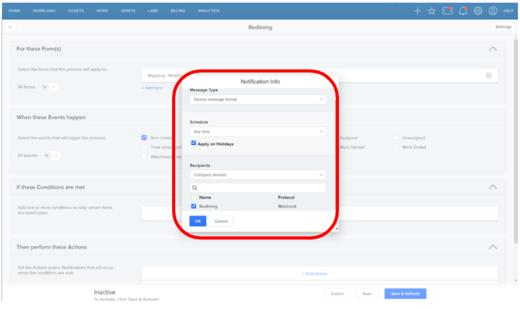
- Process automation webhook is configured
- Field tech goes onsite
- Field tech records new map redlines by drawing or breadcrumb
- UtiliSphere does the following:
- Map redline data is passed to GIS system
- The assets location is automatically updated
The standard app for Map Redlining includes:
Forms
- Map Redlining Form to draw or breadcrumb the asset location
Data Source
- An “Area, System, Segment” data source to match your assets
Automation
- The new asset location is passed back to the GIS system via a webhook in real time
Screens
- Asset Summary Screen
Self Service Report
- Shows the number of map redlines captured per month