Allows users to draw custom features such as polygons, circles etc on map sent from 811 call centers to show actual excavations sites based on information from excavators or onsite visits.Then save those locations on maps for tickets,see manual work tkt

Digsite polygons or bounding boxes are not always correct and for auditing purposes or litigation this would help to show exactly where personnel identified work location

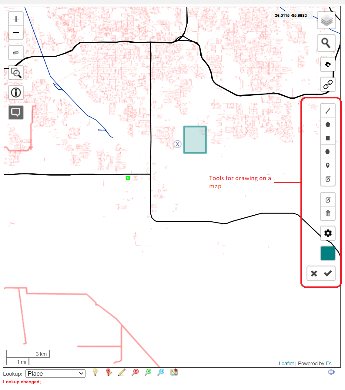


We have added the ability to draw on a Ticket Map and save the drawing. Please reach out to us if you want to learn more: